AG-211 Arctic Marine Geology (15 ECTS)
ID:
AG-211
CREDITS:
15 ECTS
APPLICATION DEADLINE:
October 01, 2025
START DATE:
January 07, 2026
END DATE:
June 05, 2026
COURSE PERIOD:
Spring semester. Teaching block 1-3
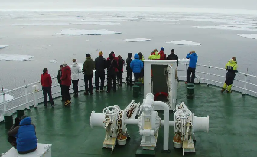
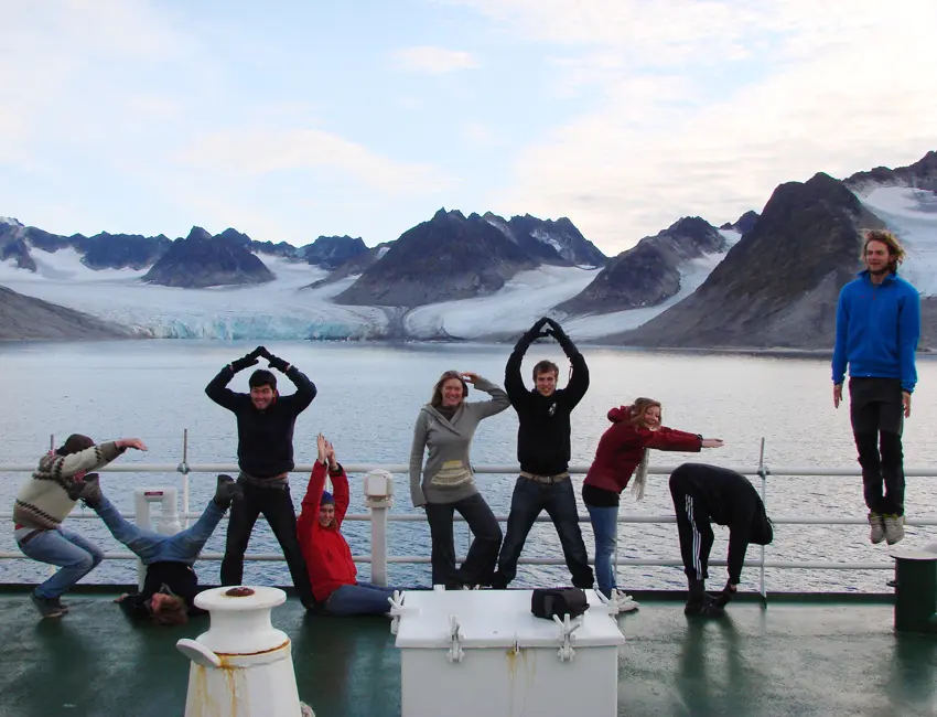
Approaching drift ice. AG-211 course cruise. Photo: Riko Noormets/UNIS.
| Grade: | Letter grade (A through F) |
| Course Cost: | Fieldwork, Ca NOK 2100 (Ca 7 days x NOK 300 per overnight stay) |
| Course Capacity Min/Max: | 10/20 students |
| Language of instruction: | English |
| Examination support material: | Bilingual dictionary between English and mother tongue |

Course requirements
60 ECTS within general natural science, of which 30 ECTS within the field of geology/geosciences. The applicant must be enrolled in a programme at Bachelor level, or document that the course is approved into the applicant’s current study programme.
The course should be combined with AG-223 Arctic Climate Change (15 ECTS) and the courses are designed to complement each other.
Academic content
This course will begin with a short introduction to the world’s oceans with focus on their geological structure, oceanography, and main sediment types. In the context of global plate tectonics, the formation of the Arctic Ocean and the resulting changes in the ocean circulation will be discussed. The exploration history of the Arctic Ocean and the discovery of its main physiographic features will be reviewed. Particular attention will be given to the role of glaciations in the formations of the geological structure, sediment stratigraphy and morphology of the Svalbard-Barents Sea continental margin. Typical high-latitude glacial marine sedimentary environments, from small basins in front of outlet glaciers, through fjords, continental shelf and slope, to deep-water abyssal plain will form an important part of the course. Case studies from Svalbard fjord-shelf-slope system will be presented to illustrate typical sediment types and stratigraphic sequences characteristic to each sedimentary environment. The contemporary sediment sources, sedimentary processes, and depositional environments in the Arctic, from the coastal zone and fjords to the central Arctic Ocean as well as the role of sea ice in the climate history will be discussed. Central part of the course is a ship-based field work where the students will learn and practice modern marine geophysical and geological data acquisition methods and techniques. The geophysical data and sediment cores collected in Svalbard fjords and surrounding continental margin will be analysed in the lab using multiproxy approach. The field and lab activities will be coordinated with the AG-223 to highlight the links and synergies between the marine and climate science.
Learning outcomes
Upon completing the course, the students will:
Knowledge
- K1: have knowledge of large-scale structure and evolution of ocean basins, their main physiographic features, current systems, sediment sources, and transport mechanisms with a focus on the Arctic Ocean
- K2: be able to characterise the changes in environmental conditions during glacial-interglacial cycles and understand the role of the Arctic Ocean in the global climate system
- K3: be able to describe the submarine landforms and sediment facies characteristic to various glacially influenced environments from the Svalbard fjords to the deep sea
- K4: have knowledge of the working principles of the modern marine geological and geophysical survey methods and instrumentation and be able to select appropriate methods suited for marine geological investigations
- K5: have knowledge of the role of the geology and bathymetry in defining the geopolitical boundaries in the Arctic Ocean.
Skills
- S1: have practical skills of marine geological and geophysical data acquisition at sea
- S2: have practical experience in using selected geophysical, geotechnical, sedimentological and micropalaeontological methods, be able to operate relevant laboratory instruments and organize the collected data
- S3: have learned and practiced the techniques of sediment core logging and be able to use multiproxy analysis for reconstruction of marine sedimentary processes and environments
- S4: be able to identify the main types of submarine glacial landforms and landform assemblages and use them for reconstruction of past ice sheet dynamics and processes across the whole Svalbard fjord-shelf-slope system.
General competences
- C1: have basic competence to plan and execute marine geological/geophysical expeditions in Svalbard and in the Arctic
- C2: have independent as well as team-work skills
- C3: be able to plan and conduct research projects, and report the results in writing and orally
- C4: be able to present their research to scientific community as well as to general public.
Learning activities
The course extends over a full semester. During the first week, students will attend compulsory Arctic survival and safety training.
The modular structure of the course ensures tight theory-practice integration focused on key topic on the Arctic marine sedimentology, marine geophysics and seabed mapping, submarine glacial landform and sediment facies associations, micropaleontology and Arctic Ocean paleoceanography/paleoclimate.
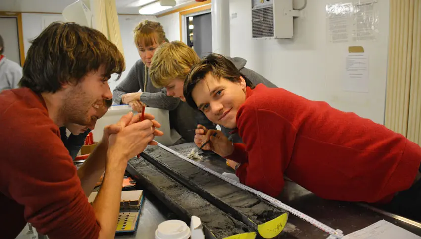
The initial lectures and seminars will give the necessary knowledge in preparation for the marine geological-geophysical work at sea. The students will work in small teams to collect geophysical, oceanographic, and sedimentological data in the fjords and surrounding continental margin of Svalbard. These data will be discussed onboard the vessel and further analyzed in the labs and seminars later on at UNIS. The cruise and lab work will be summarized in a combined cruise/lab report.
Each topical module consists of series of lectures, seminars, and supervised practical laboratory exercises. The knowledge and skills acquired during the lectures, seminars and laboratory exercises will be practiced and discussed throughout the semester and assessed when presenting an individual term project towards the end of the course.
Summary
- Total lecture and seminar hours: 42 hours.
- Total labs/exercises/presentations: 24 hours.
- Fieldwork: Ca 7 days scientific cruise / field work.
Compulsory learning activities
All compulsory learning activities must be approved in order to sit the exam.
- Scientific cruise
- Laboratory exercises
- Seminars
Assessment
- All assessments must be passed in order to pass the course.
- Each assessment is graded, and subsequently combined into a single grade. Partial grades for each assessment will be available.
| Method | Duration |
Learning outcome assessed
|
Percentage of final grade
|
| Field and laboratory skills presented in a combined cruise/lab written report (group work) | K1-5, S1-3, C1-3 | 20% | |
| Term project; oral presentation and public discussion | K1-4, S3-4, C2-4 | 40% | |
| Written exam | 3 hours | K1-5, S4, C3-4 | 40% |
Student life