AT-334 Arctic Marine Measurements Techniques, Operations and Transport (10 ECTS)
ID:
AT-334
CREDITS:
10 ECTS
APPLICATION DEADLINE:
April 15, 2024
START DATE:
August 05, 2024
END DATE:
September 19, 2024
COURSE PERIOD:
Autumn semester (Block 5)

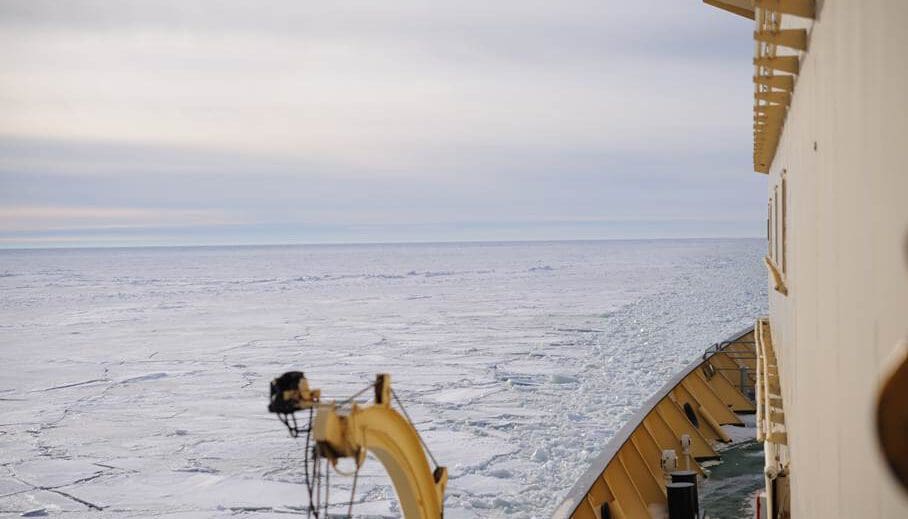
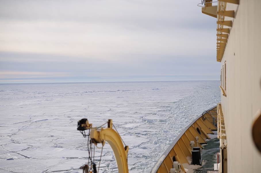
Photo: Sören Ehlers
| Grade: | Letter grade (A through F) |
| Course Cost: | None |
| Course Capacity Min/Max: | 10/25 students (AT-334/834 in total) |
| Language of instruction: | English |
| Examination support material: | Bilingual dictionary between English and mother tongue |
Contact person
Course requirements
Enrolment in a relevant master programme. Knowledge in mathematics/statistics and mechanics/physics corresponding to an engineering bachelor level.
Academic content
The course addresses instrumentation, cybernetics, and measurements/analysis of parameters and operations in the Arctic marine environment relevant for the robotics, observations and ocean science. The course consists of 3 modules:
- Module I: Remote sensing and small satellites and data processing.
- Module II: Marine operations in the Arctic including dynamic positioning and thruster assisted position mooring of ships and floaters in ice. Principles for planning marine operations including uncertainties in weather forecast and weather windows.
- Module III: Robotics including underwater vehicles, unmanned surface vehicles and aerial drones. Both technology, design application and operations are covered.
Module I cover fundamental concepts for remote sensing for ocean observation including the most important data and applications. The module focuses on small satellites and the concepts for structure, power, propulsion, communication and payload will be lectured including design trade-offs and subsystem integration. Optical sensors and in particular hyperspectral imaging will be taught, describing principles and spectral signatures. The hyperspectral sensor and data structure will be covered. Data from NTNUs satellite HYPSO will be used in the lectures. This module will also cover data processing and integration to GIS presentation of both data for situational awareness, remote sensing and observations made by mobile robotic platforms.
In Module II, Marine operations including planning, weather statistics, dynamic positioning and thruster assisted position mooring of ships and floaters will be addressed. This includes introduction to sensors and signal processing, mathematical modelling of loads and response from sea and ice loads, control system design, autonomy aspects, and requirements for operations in an Arctic environment with extreme coldness, darkness and remoteness.
Module III will delve with autonomous sensors and sensor platforms including underwater vehicles, surface and aerial vehicles in will be covered. This includes basic control theory, signal processing, hydroacoustics, design parameters, communication technology, concepts for autonomy, operational constraints. Both the commonalities and the specifics of these unmanned robotic platform will be lectured.
Fieldwork with underwater vehicles (ROV and AUV) for marine mapping and monitoring in Isfjorden will be carried out to demonstrate principles of sensors, sensor platforms, control systems and autonomy.
Learning outcomes
Students will acquire basic knowledge in quantifying the physical environment through measurements, analysis, and simulations. The knowledge of the students is relevant to the industry and the society as a whole. Students will develop competence through lectures and group work related to several case studies.
Upon completing the course, the students will:
Knowledge
Upon completing the course, the students will have:
- basic knowledge of remote sensing, hyperspectral sensors and small satellites for ocean monitoring
- basic knowlegde of data processing and presentation for ocean observation systems
- basic knowledge of undermanned arial vehicles, system architectures, control, payloads, operations, legislation, mapping, and monitoring
- basic knowledge of underwater vehicles, marine acoustics, optics, underwater navigation, marine control, operations, mapping, and monitoring
- basic knowledge and principles for planning marine operations including uncertainties in weather forecast and weather windows
- an understanding of the risks related to selected types of marine operations (e.g. offshore lifting operations and offshore towing operations)
Skills
Upon completing the course, the student will be able to:
- understand the fundamental structure and architecture in marine control systems from low-level control of motors and propellers to high-level control and optimization including autonomy subject to the particular marine operation, desired behavior, and constraints
- understand the architecture of a small sat system for data acquistions, communication, propulsion and power
- understand the possibilities and limitation of optics in remote sensing in the context of and ocean observation system
- understand the principles behind operation of drones for marine observation and mapping
- understand fundamental safety and operational requirements for operation of sensors, sensor platforms, and ships in an Arctic environment
- participate in the planning process of marine operations where operational limits and weather windows are discussed
- process and present data from a multi agent robotic observation system
- perform simple assessments of the design aspect of offshore lifting and towing operations
General competences
Upon completing the course, the students will:
- have competence in using sensors and techniques for marine surveillance and marine operations both for data collection as well as using these data in operations of structures in the Arctic
- understand and manage the risks during the planning and execution of Arctic marine operations
Learning activities
The course extends over a period of ca. 7 weeks including compulsory safety training, and is run in combination with AT-834.
The lectures will provide an overview of theoretical concepts and explain how these concepts can be applied in a practical context. The fieldwork will give the students a hands-on experience of instruments and measurements techniques. Students are to write reports from laboratory and fieldwork, and these reports will be organized as scientific/technical papers so that the students get practical experience in how to communicate their work.
Summary
- Total lecture hours: 35 hours.
- Exercises and data analysis: 25 hours.
- Fieldwork: 2–3 days.
- Work on field/lab logs, reports, assignments: 30 hours.
Compulsory learning activities
- Safety training
- Fieldwork
All compulsory learning activities must be approved in order to sit the exam.
Assessment
| Method | Duration | Percentage of final grade |
| Written reports | 25% | |
| Written exam | 4 hours | 75% |
All assessments must be passed in order to pass the course.
Each assessment is graded and subsequently combined into a single grade. Partial grades for each assessment will be available.


